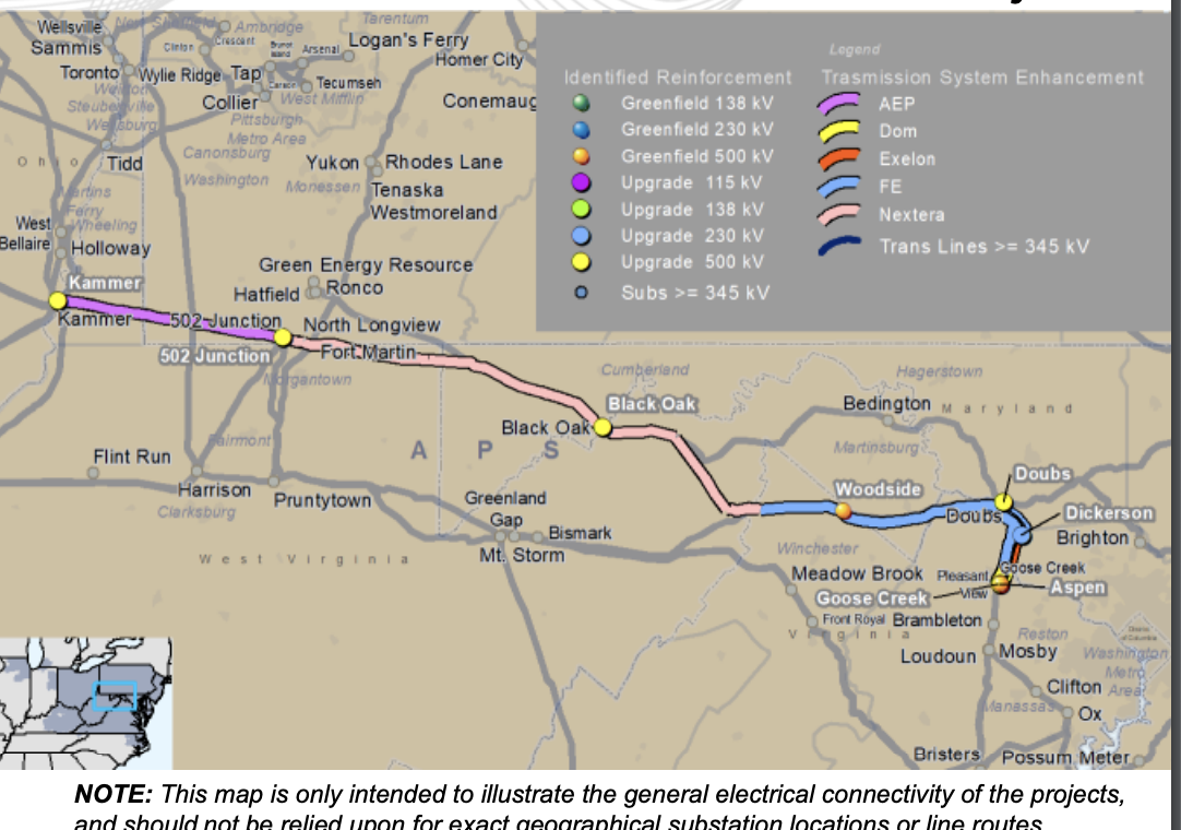
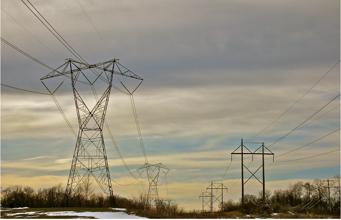
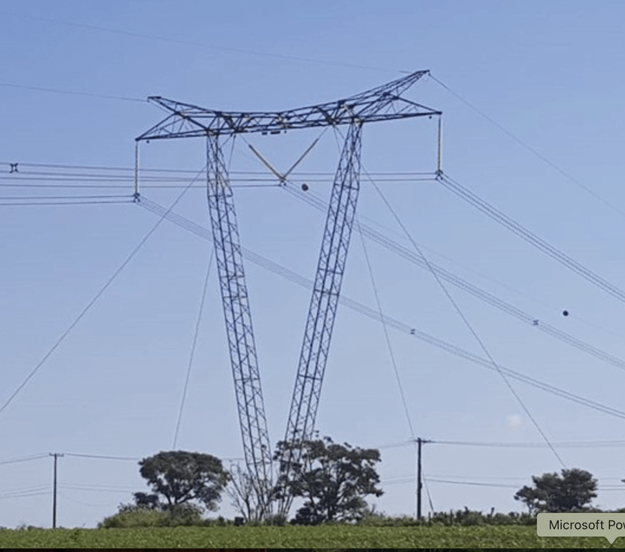
Now PJM needs another transmission extension cord for Virginia's data centers. The first one just wasn't enough power because Virginia just can't stop building the data centers. PJM's latest proposal is a 765kV transmission line (the largest AC transmission line in the country) from the John Amos coal-fired power station in Putnam County, WV to Virginia's data center alley. On PJM's map, the project looks like this:
PJM is still discussing this proposal in its Transmission Expansion Advisory Committee. The next meeting (and final opportunity for the public to comment) is scheduled for January 7, beginning at 11:15 a.m. Anyone who is concerned about this proposal is invited to participate, either over the phone, via Webex, or in person at PJM's office in Valley Forge, PA. Participation requires that you register in advance. You can sign up for the meeting here.
So, many are asking themselves... am I impacted? PJM's maps are purposefully vague because PJM is not a transmission line router. It simply approves a transmission line between two substations... where the route actually goes is a function of the utility assigned to build it, and that route must be approved by the state commissions. So, we don't know for certain at this time where the new 765kV project will be routed.
What we do know, however, is that this new 765kV project appears in all proposals to be identical to the failed Potomac-Appalachian Transmission Highline (PATH) project that was proposed back in 2008. That project was subsequently cancelled in 2012, before any state approved a final route. However, the PATH legacy lives on in the memories of the folks who battled it last time.
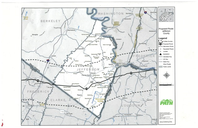
I still have the detailed Jefferson County maps from the PATH project. On these maps, you can zoom in to see an aerial photo of your area and where the existing transmission lines run, along with the proposed location of the PATH project. Sorry it doesn't have any of the newer fancy GPS features like typing your address into a finder, but we're dealing with something circa 2009 here. The map tiles should give you a general idea of how the new 765k line may impact your property.
The PATH route is the yellow dotted line. In some places, it deviated from the existing transmission corridor due to space constraints. In some cases, the deviation took it miles away from the existing lines, so keep in mind that this line could be routed anywhere and will not necessarily stay parallel to the existing transmission lines. In some places, there's a black dotted line that says "rebuild of existing 500kV line". This was a way PATH planned to snake through narrow areas, however that rebuild can no longer happen due to the new 500kV/138kV line that was approved last year. FirstEnergy is already using the space that the 138kV line currently sits on for its new 500kV line. It cannot also use that same space for the 765kV line. While it is possible to double-circuit a 138kV line with a 500 or 765kV line, it is not possible to double circuit 500 or 765kV lines with each other. The new 765kV transmission line will have to be routed on a new 200 ft. wide right-of-way. If you live in one of those dotted black line areas, it is likely that the new 765kV transmission line will take your home. There's simply no where else to put it unless they deviate miles away from the existing transmission corridor. It is virtually impossible to avoid everything and everyone. It is a certainty that homes in Jefferson will be lost. Yours may be one of them... sacrificed to the data center Gods in Virginia.
Also keep in mind that these aerial maps are 15 years old and cover a portion of Jefferson County that has seen enormous growth over the past several years. Much of what was once farmland is now solar farms and new housing developments (and the building continues!). If you live in a newer development, your home might be represented in an old photo that shows the farms that were there before. The true extent of the horror of how this line will impact Jefferson County isn't shown.
Now, the maps. You may need to open several to find the one where your property is shown. The tiles begin at the western edge of Jefferson and proceed east.
| overview.jpg |
| tile_151.jpg |
| tile_152.jpg |
| tile_153.jpg |
| tile_154.jpg |
| tile_155.jpg |
| tile_156.jpg |
| tile_157.jpg |
| tile_158.jpg |
| tile_159.jpg |
| tile_160.jpg |
| tile_161.jpg |
It's time to step up and get involved! It's never too early to oppose new transmission needed only to serve Virginia's data centers.


 RSS Feed